GIS & Drone Services
Expertise / GIS & Drone
Using our Smart Site Plan (TM) technology, RAUCH inc. has developed a real-time GIS model to track water, wastewater & stormwater utility lines, fire hydrants, cleanouts and water meters for municipalities and developers. This model offers the ability to plan for and execute emergency preparedness plans, utility system maintenance, construction upgrades, subdivision planning and a multitude of other tasks.
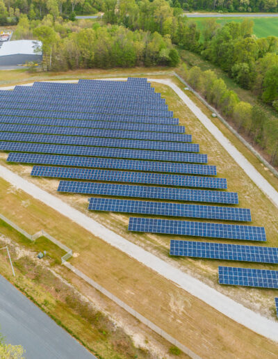
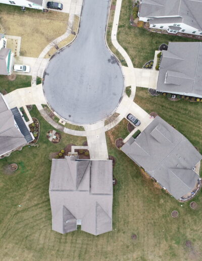
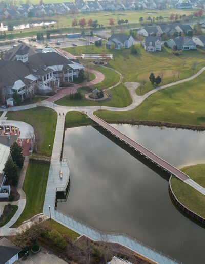
Our Drone fleet technology allows us to:
- Obtain up-to-date aerial imagery
- Detailed topography
- Identification of drainage areas
- Track construction progress
- Perform volume calculations
- Conduct thermal inspection using FLiR
- Prepare 3D building reconstruction


